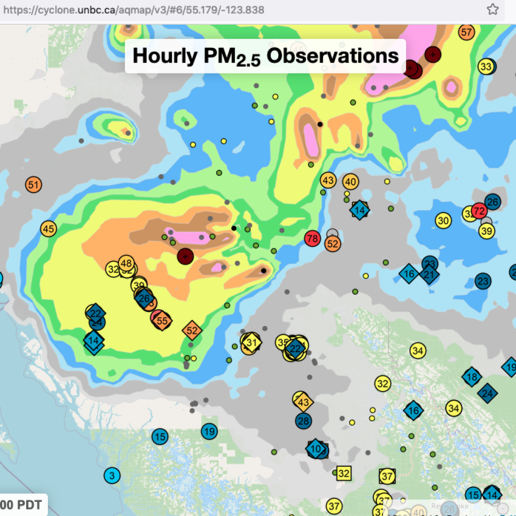
Why? This map is cool because it can be set to show LAYERS of information.
On the map you can get
- readings of Temperature, Particulate Pm2.5 and PM10
- BC Wildfire Service Fire listings and size
- National Resource Canada Fire listings
- pictures of smoke drifts across the country
- topography
- winds and more
Local and Real Time, Temperatures and Smoke Density: purple air map of the BVLD area. Click here for the Purple Air Understanding Guide.
BC Wildfire Service, get details on fires here: https://wildfiresituation.nrs.gov.bc.ca/map
Live Smoke Forecasts, fire weather forecasts, fire information: https://firesmoke.ca/
From here you can access the BlueSky Canada , and the BlueSky Playground. The Weather Forecast Research Team at the University of British Columbia produces these research forecasts with support from multiple agencies.
Daily smoke forecast maps, https://weather.gc.ca/firework/index_e.html
Canada’s Wildfire Smoke Prediction System (FireWork).
Latest Air Quality Health Index, https://www.env.gov.bc.ca/epd/bcairquality/readings/find-stations-map.html
BC’s Ministry of the Environment.
Lightning Maps and Apps:
https://weather.gc.ca/lightning/index_e.html?id=PAC#mapTop
https://www.lightningmaps.org/?lang=en#m=oss;t=3;s=0;o=0;b=;ts=0;z=5;y=53.8784;x=-127.0679;d=2;dl=2;dc=0;
Wind Maps and Apps, Webcams:
https://www.windy.com/?54.771,-127.204,10,m:eTbacfK
A not for profit Wildfire Map: https://www.bcfiremap.com/
