Community Pages
For health and safety information, where to get your alert info., where to find maps of fires or smoke info: here it is. Please provide us your feedback.
BC Wildfire Service, https://wildfiresituation.nrs.gov.bc.ca/map
Fire Bans and Restrictions, Province of BC:
https://www2.gov.bc.ca/gov/content/safety/wildfire-status/prevention/fire-bans-and-restrictions
Always check with you Village, District and/or Town for more site specific news. Why? Prevention can reduce emissions or danger.
Road CLosures, Drive BC
https://www.drivebc.ca/#welcome
Report Wildfires, call 1 800 663-5555 or (*5555 from a cell phone)
https://www2.gov.bc.ca/gov/content/safety/wildfire-status/contact-channels/report-a-wildfire
Report Poachers and Polluters, Call 1-877-952-7277 (RAPP) or #7277 on the TELUS Mobility Network.
Webcams, you can find these thru various links but here is an easy site to navigate. https://www.meteoblue.com/en/weather/webcams/smithers_canada_6149996
Air Quality/Weather/Wind Apps. These are produced by various organizations using AI, weather underground uploads, Ministry data and more. Various layers can be managed that include, wildfires, perimeters, wind, weather, particulate, temperature and more.
Meteoblue: Meteo Blue for weather, wind, Air Quality, webcams and more (linked to Smithers) (Swiss ownsership). I find this really accurate for wind.
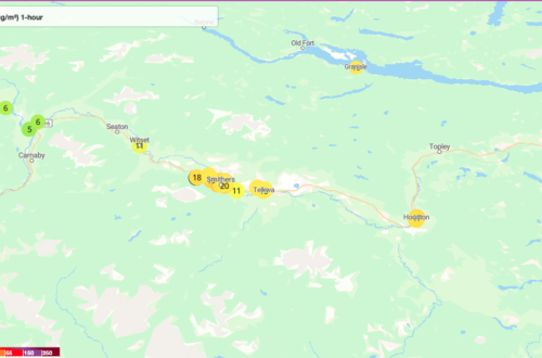
The UNBC AQ map. This also has a wind function and Hazelton Public Library likes it! https://cyclone.unbc.ca/aqmap/v3/#10/55.1184/-127.2972/B31/L38/L40/L41/L43
The Purple Air users map. This is great for temperature readings where there are no other sensors. https://map.purpleair.com/1/mTEMP_C/a10/p604800/cC0#9.73/54.9773/-127.3967
Yr by NRK: https://www.yr.no/en for specific info on mountains and valleys in the interior by the Norwegian Meteorological Institute and the Norwegian Broadcasting
Smoke Forecasts: https://firesmoke.ca/forecasts/current/
Nasa and Mobius: satellite imagery and lots of time lapse and layer functionality. https://worldview.earthdata.nasa.gov/?v=-128.9119035452509,54.31317893576803,-126.45126522946602,55.68522100166478&l=Reference_Labels_15m(hidden),Reference_Features_15m(hidden),Coastlines_15m,BlueMarble_NextGeneration(hidden),VIIRS_NOAA20_CorrectedReflectance_TrueColor(hidden),VIIRS_SNPP_CorrectedReflectance_TrueColor(hidden),MODIS_Aqua_CorrectedReflectance_TrueColor(hidden),MODIS_Terra_CorrectedReflectance_TrueColor&lg=true&t=2023-08-28-T15%3A05%3A53Z
MyLightning Tracker: https://play.google.com/store/apps/details?id=com.jrustonapps.mylightningtracker&hl=en_CA&gl=US
IQ AIR (US Air Quality Index info (Swiss)): great satellite imagery too. https://www.iqair.com/ca/earth?nav=
BreezeOMeter: This is built into everyone’s iphone but I’m not sure how accurate it is. Try to use Provincial Ministry (BCWILDFIRE/Environment) instead of this app.
The pages below are developing sites that will house links and related info specific to that community. Bear with us as we deal with server issues! Please provide us your feedback. The Witset community which has the most complete data.
Hazelton up next!
What are your comments?


You May Also Like
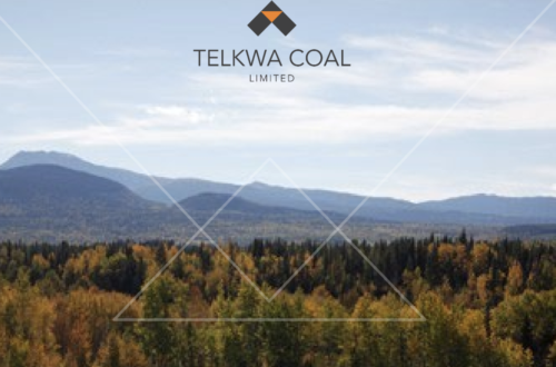
Tenas Project, Telkwa Coal Management Plan
Purple Air Sensor Network Expanding